



The umbrella is not going back in the cupboard this week. In its latest special bulletin, the Regional Meteorological Centre in Kolkata has said heavy rain and thunderstorms with lightning are very likely to keep occurring at one or two places over some districts of West Bengal right through to September 9. Kolkata itself has already had a soaking. Alipore recorded 8 cm of rain in the 24 hours to 8.30 am on Wednesday, one of the highest totals anywhere in the state that day, and Dum Dum was not far behind at 6 cm.
What Is Driving the Rain
Unusually, the system responsible is not sitting over Bengal at all. A well marked low pressure area is parked over northeast Madhya Pradesh and its neighbourhood, with an associated cyclonic circulation reaching up to about 7.6 km above sea level and tilting southwards with height. IMD expects it to drift west-northwestwards across south Uttar Pradesh and adjoining north Madhya Pradesh.
What keeps Bengal wet is the geometry around it. The monsoon trough at mean sea level runs from Sri Ganganagar through Rohtak and Fatehgarh, across the centre of that low, then through Daltonganj and Digha before bending east-southeastwards into the northeast Bay of Bengal. With the trough sitting across the state and a separate upper air cyclonic circulation over southwest Bangladesh, moisture keeps getting funnelled in even though the main low has moved away. That is why this spell feels stubborn rather than dramatic.
How Much Rain Has Already Fallen
In the 24 hours to 8.30 am on September 3, the southwest monsoon was active over Gangetic West Bengal, with very light to moderate rain at most places across South Bengal and heavy rain at one or two places in Kolkata, Birbhum, Murshidabad and East Burdwan. The chief figures, in centimetres:
- Mangalkote, Purba Bardhaman: 8
- Alipore, Kolkata: 8
- Nalhati and Narayanpur, Birbhum: 7 each
- Kandi, Murshidabad: 7
- Dum Dum, North 24 Parganas: 6
- Salt Lake, North 24 Parganas: 5
- Tilpara Barrage, Birbhum and Amtala, Murshidabad: 4 each
- Barrackpore, Basirhat and Kalyani: 3 each
The Forecast for Kolkata and South Bengal, Day by Day
For September 4 into September 5, IMD expects light to moderate rain or thundershowers at most places across every South Bengal district. Heavy rain of 7 to 11 cm is likely at one or two places, but the districts named are East Burdwan, Birbhum, Murshidabad, Nadia and North 24 Parganas. Kolkata is not on the heavy rain list for this window, which is a meaningful difference from earlier this week. What the city can expect instead is thunderstorms, lightning and gusty winds reaching 30 to 40 kmph at one or two places.
From September 5 to 6, the pattern eases slightly to rain at many places, with heavy rain confined to West Burdwan, Birbhum and Murshidabad. September 6 through 8 looks like the quietest stretch, light to moderate rain at many places without a heavy rain warning attached. Then it picks up again. September 8 to 9 brings heavy rain back to Birbhum and Murshidabad, and the September 9 to 10 window widens the warning considerably, to Birbhum, Purulia, South 24 Parganas, East and West Midnapore, Bankura and West Burdwan.
North Bengal Is Getting the Rougher End
The hills and the Dooars stay unsettled longer. Heavy rain is forecast for Darjeeling, Jalpaiguri and Alipurduar on September 4 into 5, and those three districts keep reappearing in the warnings through the middle of the week. That matters for Kolkata travellers right now, because the same rain has already caused a track subsidence near New Farakka that has taken most North Bengal trains from Kolkata out of service for a second day. If you are planning a hills trip this weekend, the weather and the railway are pointing the same way, which is to wait.
What IMD Says the Impact Could Be
The bulletin lists four likely impacts for South Bengal: temporary waterlogging in low lying areas and road underpasses, damage to standing crops and horticulture, lightning strikes especially in open fields, and damage to kutcha roads along with wall collapses in vulnerable kutcha houses. For a city like Kolkata the first and third are the ones to take seriously. Underpasses at Ultadanga, the Hastings ramp and the usual south Kolkata dips fill fast in an intense one hour burst, and lightning during an afternoon thunderstorm is a genuine hazard on open ground.
Staying Safe This Week
- Treat road underpasses as the first thing to avoid during heavy rain. Water depth is very hard to judge from the entrance.
- When you hear thunder, get inside a proper building. Trees, bus shelters, electric poles and tin roofs are not shelter.
- Stay away from waterlogged stretches near electric poles and street furniture, especially after dark.
- Gusty winds of 30 to 40 kmph are enough to bring down branches and hoardings. Do not park under old trees or unstable signage.
- Rail and Metro generally hold up better than road traffic in heavy rain, so keep them as your fallback on a bad afternoon.
- RMC Kolkata reissues this bulletin daily, so check the latest before making a plan that depends on the weather.
Frequently Asked Questions
How long will the rain last in Kolkata?
IMD expects heavy rain and thunderstorms to continue at one or two places over some West Bengal districts until September 9. For Kolkata specifically, light to moderate rain with thunderstorms is the pattern for most of that stretch.
Is there a heavy rain warning for Kolkata right now?
Not for September 4 into September 5. The heavy rain warning for that window covers East Burdwan, Birbhum, Murshidabad, Nadia and North 24 Parganas. Kolkata is forecast to see light to moderate rain with thunderstorms and gusty winds.
How much rain did Kolkata get?
Alipore recorded 8 cm and Dum Dum 6 cm in the 24 hours to 8.30 am on September 3, with Salt Lake at 5 cm.
What counts as heavy rain in IMD terms?
IMD classifies 64.5 to 115.5 mm in 24 hours as heavy rain, 115.6 to 204.4 mm as very heavy rain, and 204.5 mm or more as extremely heavy rain.
Which system is causing this spell?
A well marked low pressure area over northeast Madhya Pradesh, combined with the monsoon trough running across Bengal towards the northeast Bay of Bengal and an upper air cyclonic circulation over southwest Bangladesh.
The Bottom Line
This is not a repeat of the sharp, alert heavy system that hit the city at the start of the month. It is the slower, more persistent kind of monsoon week, where the heavy rain warnings sit mostly in Birbhum, Murshidabad and the Burdwans while Kolkata takes repeated thundershowers. The practical consequences are waterlogged underpasses, unreliable road travel in the afternoons and a real lightning risk in the open. Plan around the afternoons, keep rail as your backup, and check the day’s bulletin before you commit to anything outdoors. For context on the sharper system that hit the city days earlier, see our report on the IMD orange alert and the 90 mm downpour on September 2.
Sources: India Meteorological Department, Regional Meteorological Centre Kolkata, Special Bulletin No. 7 (No. RMCKOL-13020/4/2025-RWFC-KOL), issued 3 September 2026 at 1230 hrs IST, signed by Dr H. R. Biswas, Scientist F, for Head RMC Kolkata.
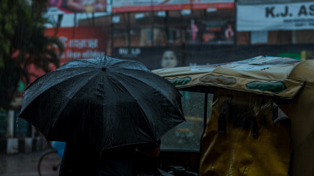
Featured image: people walking with umbrellas through heavy monsoon rain, photo by Shiv Narayan Das on Unsplash.