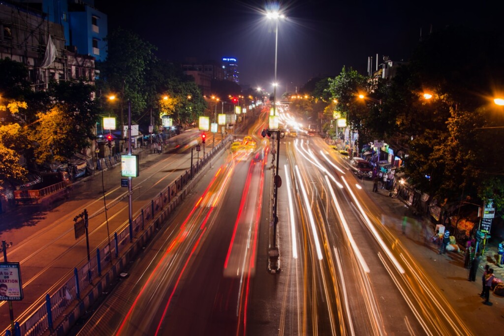



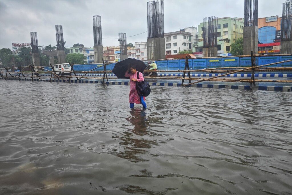

Kolkata’s monsoon still has some fight left in it. After days of a depression parked first over the Bay of Bengal and then tracking inland towards Jharkhand and Bihar, the India Meteorological Department’s Regional Meteorological Centre in Kolkata says South Bengal, this city included, should brace for another spell of thundershowers, gusty winds and possible waterlogging today and into Thursday. The system itself has weakened, but the monsoon trough running through the region means the rain isn’t done with Kolkata yet. Here’s what to know before you step out.
What IMD’s Latest Bulletin Says
In its Special Bulletin No. 11, issued on 18 August at 12:30 pm IST, RMC Kolkata tracked the depression as it moved west-northwest into Jharkhand, roughly 80 km northeast of Ranchi. The bulletin expects it to weaken further into a well-marked low-pressure area within 24 hours. Even so, the monsoon trough at sea level still runs through the region, and IMD says enhanced rainfall, with heavy spells in a few districts, remains very likely over South Bengal in the near term.
How Much Rain Has South Bengal Already Seen
The 24 hours before the bulletin were wet ones. Burnpur in Paschim Bardhaman topped the rainfall table at 22 cm, with Asansol close behind at 16 to 17 cm depending on the station. Suri in Birbhum recorded up to 14 cm, and Midnapore saw around 11 cm. Closer to the city, Salt Lake’s monitoring station logged 8 cm, while Diamond Harbour in South 24 Parganas recorded 8 cm as well, a reminder that the rain has been widespread across the districts that ring Kolkata, not just in the west of the state.
Forecast for Kolkata: Today and Tomorrow
Today (valid till 8:30 am Wednesday)
Light to moderate rain and thundershowers are likely at most places across South Bengal, with pockets of heavier rain (7 to 11 cm) possible over Purulia, Bankura, West Burdwan and Birbhum. Isolated spots across all South Bengal districts, Kolkata included, could see thunderstorms, lightning and gusty winds of 30 to 40 kmph.
Tomorrow (Wednesday morning to Thursday morning)
This is the window IMD has specifically flagged for Kolkata and Howrah, alongside Jhargram, East and West Midnapore, and both 24 Parganas districts. Expect light to moderate rain at many places, with a continued risk of thunderstorms, lightning and gusty winds.
Waterlogging: Areas to Watch
IMD’s own bulletin lists water logging in low-lying areas and underpasses as a likely impact of this rain spell. It’s worth remembering which parts of the city tend to go under first. Earlier this monsoon, heavy spells left the Patipukur underpass nearly submerged and caused flooding in Maniktala, Shyambazar, Girish Park, Ultadanga, Tala, Belgachia, Salt Lake and Chinar Park, according to regional press reports at the time. None of these are guaranteed to flood again today, but they’re the pockets worth avoiding or budgeting extra travel time around if the rain intensifies.
Fishermen and Coastal Advisory
Away from the city, IMD has warned of squally weather along the West Bengal and North Odisha coast, with winds of 35 to 45 kmph gusting to 55 kmph. Fishermen have been advised to stay off the sea in this stretch for the next 24 hours.
Staying Safe Today
- Keep rain gear handy and budget extra time for your commute, especially around known low-lying stretches.
- During thunderstorms, take shelter in a solid structure. Avoid standing under trees or near electric poles, and stay away from open water bodies.
- Traffic may be regulated in parts of the city if rain intensifies, so check for diversions before you head out.
- If you’re planning to cross the Hooghly by ferry, confirm the service is running before you leave; high water and rough conditions can lead to suspensions during spells like this (see our ferry routes and timings guide for alternate crossings).
Frequently Asked Questions
Will it rain in Kolkata today?
Yes. IMD’s Kolkata bulletin, issued 18 August, forecasts light to moderate rain and thundershowers across South Bengal today, with a specific thunderstorm and gusty-wind warning for Kolkata and Howrah districts extending into Thursday.
Is there a waterlogging alert for Kolkata?
IMD has flagged water logging in low-lying areas and underpasses as a likely impact of the current rain spell. Chronic hotspots such as the Patipukur underpass have flooded repeatedly this monsoon.
Is the depression turning into a cyclone?
No. IMD says the system has already weakened after moving into Jharkhand and is expected to degrade further into a well-marked low-pressure area, so there’s no cyclone threat to Kolkata indicated in the current bulletin.
Should fishermen go out to sea right now?
No. IMD has advised fishermen to avoid the sea off the West Bengal and North Odisha coasts for the next 24 hours because of squally winds.
The Bottom Line
The worst of this system has already moved past Bengal and is weakening over Jharkhand, so this isn’t shaping up to be a repeat of the city’s worst monsoon flooding. But the trough behind it means Kolkata isn’t done with the rain, and today’s thunderstorm and gusty-wind warning for the city is worth taking seriously, especially during the evening commute. Keep an eye on IMD’s updates and check back with Kolkata Dekho as the picture develops. For a sense of how the city has handled similar spells before, see our earlier weather and traffic update.