



Kolkata is in for a wet Wednesday. The India Meteorological Department’s Regional Meteorological Centre in Kolkata has forecast heavy rain — 7 to 11 cm at one or two spots — over the city and district today, August 12, along with thunderstorms, lightning, and gusty winds. If you’re commuting today, it’s worth planning around this rather than getting caught out by it.
What IMD’s Forecast Says
The trigger is an active monsoon trough combined with a cyclonic circulation sitting over the region, a pattern meteorologists say has kept South Bengal’s rainy spell going for days and will likely continue for a few more. IMD’s bulletin covers Kolkata and the neighbouring districts, with North and South 24 Parganas and East Midnapore flagged for similarly heavy or higher rainfall. Alongside the rain, the forecast calls for thunderstorms with lightning and surface winds gusting to 30-40 kmph, with some reports suggesting gusts could touch 55-60 kmph in squally spells.
Temperature and General Conditions
Despite the rain, it won’t feel particularly cool. The day’s maximum is expected to hover around 32°C with a minimum near 27°C, so factor in Kolkata’s trademark monsoon humidity along with the showers.
Areas Likely to See Waterlogging
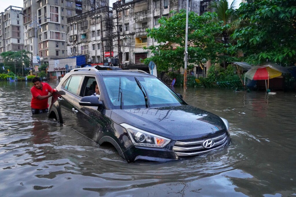
Kolkata’s drainage network struggles whenever rainfall arrives in short, intense bursts rather than spread evenly through the day, and today’s forecast fits that pattern. Going by recent waterlogging trends in similar spells this monsoon, keep an eye on low-lying stretches in both North and South Kolkata, including Maniktala, Shyambazar, Girish Park, Ultadanga, Tala, Belgachia, Salt Lake, and Chinar Park. These pockets have flooded repeatedly through this monsoon season whenever a few hours of heavy rain coincide with high tide on the Hooghly, so if your commute passes through any of them, build in extra time or consider an alternate route.
Commuter Advisory
A few practical points worth keeping in mind through the day:
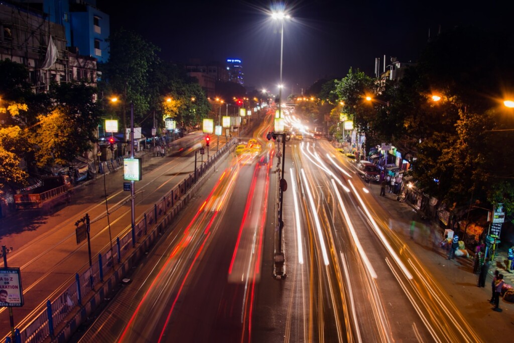
Metro and suburban rail tend to hold up better than road transport during sudden downpours, so if your route allows it, that’s the safer bet during peak showers. Two-wheeler riders should watch out for waterlogged stretches where potholes are hidden under standing water. And if you’re heading toward Salt Lake or New Town for work, leave a buffer of at least 20-30 minutes given how quickly those arterial roads have backed up in past spells this season.
Frequently Asked Questions
How much rain is Kolkata expected to get today?
IMD has forecast heavy rain of 7-11 cm at one or two places over Kolkata district today, August 12, along with thunderstorms and gusty winds.
Which parts of Kolkata are most at risk of waterlogging?
Based on this monsoon’s pattern, low-lying areas including Maniktala, Shyambazar, Girish Park, Ultadanga, Tala, Belgachia, Salt Lake, and Chinar Park are most likely to see standing water.
How long will this spell of rain continue?
Meteorologists tracking the active monsoon trough and cyclonic circulation over the region expect the rainy spell to continue over South Bengal for a few more days beyond today.
The Bottom Line
Today’s forecast is squarely in “carry an umbrella and check your route” territory rather than anything approaching cyclone-level disruption. Still, given how quickly Kolkata’s low-lying pockets have waterlogged this monsoon, a bit of planning around your commute will save you a soaking — or worse, being stuck in traffic in ankle-deep water.
Featured image note: No licensed image has been attached to this draft. Suggested treatment — a current or recent file photo of rain over central Kolkata (e.g., Esplanade, Park Street, or a waterlogged north Kolkata lane). A rights-cleared stock or wire image still needs to be sourced before publishing.
Sources: India Meteorological Department, Regional Meteorological Centre Kolkata (mausam.imd.gov.in/kolkata); weather reporting cross-checked against Millennium Post and India.com’s August 12 IMD alert coverage.