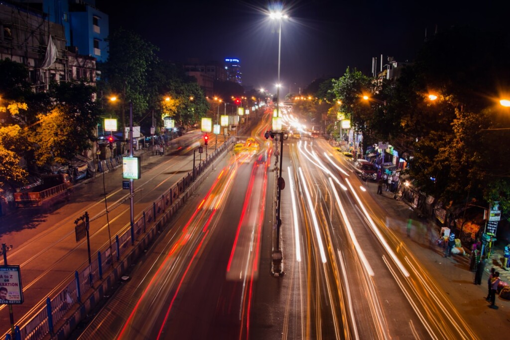



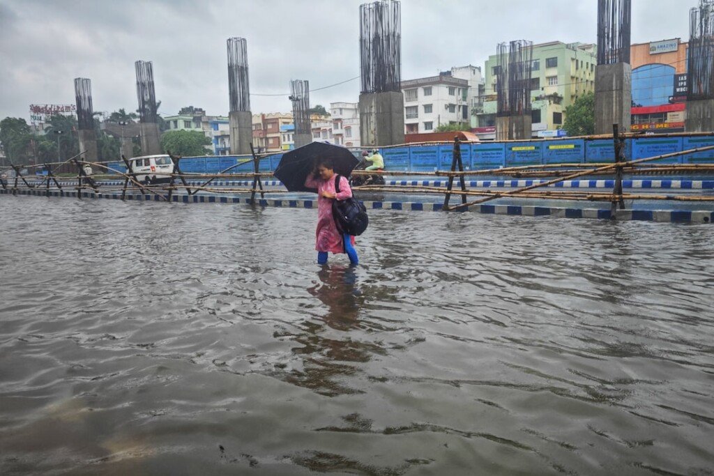

Kolkata got a rude reminder on Monday evening that the monsoon isn’t done with the city yet. After a muggy, overcast day that teased rain without delivering it, the skies over the City of Joy finally broke around dusk — and when they did, they didn’t hold back. In roughly two hours, the city recorded about 22mm of rainfall, enough to send water rushing into several low-lying pockets of North Kolkata and turn the evening commute into a slow, soggy crawl.
If you were stuck in traffic near Ultadanga, Maniktala, or the underpasses that dot North Kolkata on Monday evening, you already know how this story goes. Here’s what happened, why it happened, and what to expect for the rest of the week.
What happened on Monday evening
Kolkata spent most of Monday sandwiched between heavy cloud cover and brief spells of sunshine, with humidity levels making the day feel far muggier than the mercury suggested. That changed sharply after sunset. A short but intense spell of rain — roughly two hours of sustained downpour — dumped about 22mm of water on the city, enough to overwhelm surface drains in the usual trouble spots.
Low-lying stretches of North Kolkata bore the brunt of it, with roads disappearing under standing water and traffic backing up along several arterial routes as office-goers tried to make their way home. Howrah and its adjoining areas weren’t spared either, with thunderstorms adding to the disruption on that side of the river.
Areas that felt it the most
- Low-lying North Kolkata neighbourhoods, where water pooled fastest
- Key commuter routes that saw long, slow-moving traffic snarls through the evening
- Parts of Howrah, hit by both rain and thunderstorm activity
Why it happened: the weather system behind the downpour
This wasn’t a one-off cloudburst. The India Meteorological Department has been tracking a cyclonic circulation over the Bay of Bengal that’s been feeding moisture into South Bengal through the week, with earlier bulletins already flagging the risk of temporary waterlogging in low-lying parts of the city. Monday’s downpour fits squarely into that pattern.
The weather office has forecast light to moderate rain across most of South Bengal in the coming days, with isolated thunderstorms and gusty winds of 30-40 kmph. Districts on the list include North and South 24-Parganas, Howrah, Hooghly, East and West Burdwan, Bankura, Purulia, Jhargram, West Midnapore, Birbhum, Murshidabad, and Nadia.
What’s coming later this week
Meteorologists say the cyclonic circulation could strengthen into a low-pressure system over the Bay of Bengal. If that happens, rainfall activity across South Bengal is expected to intensify after Wednesday, with the possibility of heavier showers in several districts, Kolkata included. It’s worth keeping an eye on IMD updates through midweek rather than assuming Monday’s spell was a one-time event.
A practical note for anyone commuting in Kolkata this week
Anyone who has lived through a Kolkata monsoon knows the drill, but it bears repeating for newer residents and those who don’t usually factor rain into their commute: North Kolkata’s older drainage network struggles to keep up with sudden, intense spells like Monday’s, even when the total rainfall isn’t extreme. Twenty-two millimetres in two hours is a moderate spell by Kolkata monsoon standards, yet it was enough to choke traffic — a sign of how quickly localised flooding can build during a fast, heavy burst rather than a slow, steady spell.
If the cyclonic circulation does intensify as forecast, it would be worth building extra travel time into evening commutes through North and South 24-Parganas, Howrah, and Hooghly for the rest of the week, and avoiding underpasses and known low-lying stretches during active rain rather than after it.
For a broader sense of how Kolkata’s weather typically behaves through the year, see our Kolkata weather and AQI guide. And if this week’s system does intensify, it’s worth remembering how quickly things escalated during Cyclone Remal in 2024, when a Bay of Bengal system caused widespread damage across the city and state.
Frequently Asked Questions
Why did Kolkata flood so quickly with just 22mm of rain?
Twenty-two millimetres isn’t an extreme total, but it fell in a concentrated two-hour burst rather than spread over a longer period. Combined with Kolkata’s ageing drainage infrastructure in low-lying North Kolkata pockets, that’s often enough to cause temporary waterlogging and traffic disruption, even without a major cloudburst.
Will Kolkata see more heavy rain this week?
The IMD is watching a cyclonic circulation over the Bay of Bengal that could develop into a low-pressure system. If it strengthens, rainfall across South Bengal, including Kolkata, is expected to pick up after Wednesday.
Which areas of Kolkata are most prone to waterlogging in this kind of rain?
Low-lying stretches of North Kolkata are typically the first to show standing water during short, intense spells, along with several underpasses and arterial routes that see slow drainage.
The bottom line
Monday’s downpour was brief, but it was a preview of what the rest of the week could bring if the Bay of Bengal system develops as forecast. Kolkata’s monsoon isn’t finished yet — keep an eye on the skies, plan your commute with some buffer time, and don’t be surprised if North Kolkata’s familiar flood spots make another appearance before the week is out.
Sources: Millennium Post, IMD Kolkata regional weather bulletin.